Sean Norgard, P. Geoph.
P. Geoph., Member of APEGGA, SEG, CSEG, AAPG
Seismic interpretation and multi-attribute geoscience mapping, marine geophysics, shallow near surface geophysics, hydrogeology, data visualization, seismic acquisition, processing.
Extensive experience in domestic and international basins in both conventional and unconventional hydrocarbon exploration and development.
Specialized expertise and experience in seismic attribute analysis and data visualization, utilizing OpendTect and other specialized and open-source software — including OpendTect workflows with Dip Steering, Horizon Cube, SSIS, Machine Learning / Neural Network, and Faults and Fractures plugins; fault and fracture network analysis in tight reservoirs; and QGIS mapping.
Services
Onshore & Marine Geophysics: Multi-Attribute Mapping
Extensive experience in seismic interpretation and mapping in numerous basins and geological settings. Multi-attribute mapping in high-resolution near-surface datasets and near-shore marine environments, including multibeam bathymetry and sub-bottom profiling. North American and international basin experience with acquisition and processing oversight.
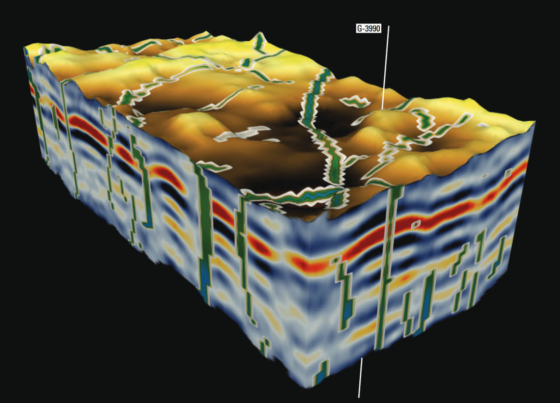
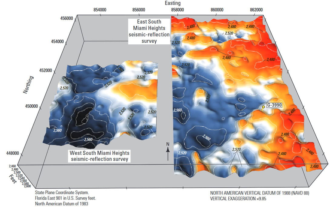
Data Visualization
Expertise in visualizing complex geophysical and geological datasets using 3D perspectives, opacity renderings, and color blending techniques.

Advanced Seismic Attribute Analysis
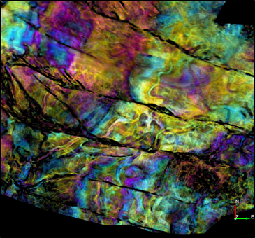
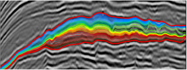
Experience with specialized workflows utilizing dip steered attributes, 3D automated horizon slicing, wheeler volume generation, fault and fracture analysis and neural networks.
Software Licenses & Tools

OpendTect Pro — Geoscience Package Plugins
- Dip Steering
- Horizon Cube
- Neural Networks
- Seismic Stratigraphic Interpretation System (SSIS)
- Faults & Fractures
- Well Correlation Panel
- Synth Rock
- Fluid Contact Finder
- Velocity Model Building

Additional Software
- Seisware Geophysics
- Global Mapper